MC3 - A Web-Based Interactive Image Explorer for Temporal Analysis of Satellite Images
MC3 - A Web-Based Interactive Image Explorer for Temporal Analysis of Satellite Images
Mahida, V., Kupiec, B., Burks, A., Luciani, T., Marai, G.E.
- Location: Phoenix, AZ
- PDF: mc3-web-based.pdf
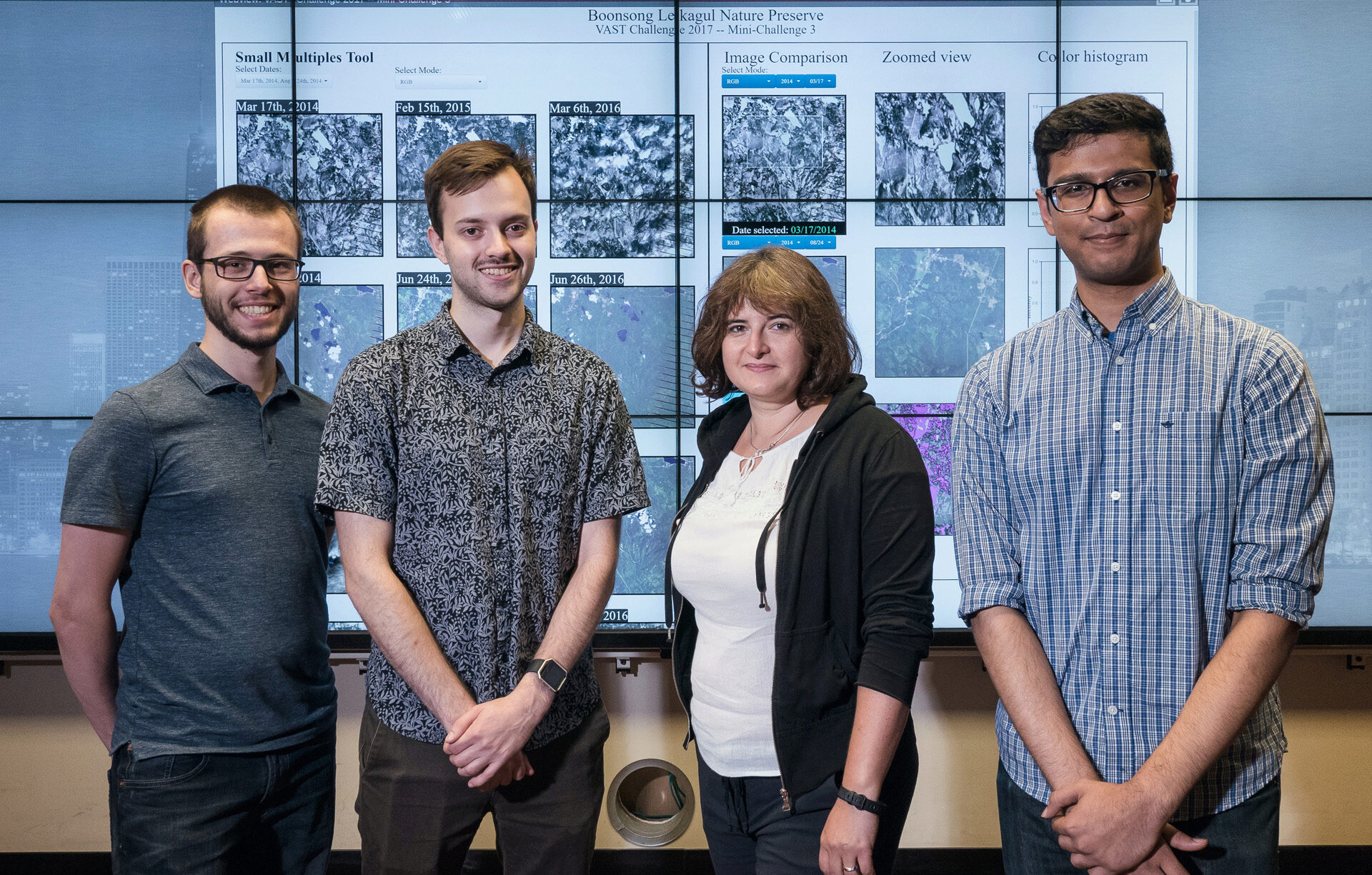
- Caption: EVL Project Team (from left to right): Bart Kupiec, Andrew Burks, Elisabeta Marai (faculty advisor) and Vijayraj Mahida
- Credit: photo courtesy L. Long, EVL
Our web-based image analysis tool for the VAST 2017 Mini-Challenge 3 combines small multiple views of satellite images, linked semantic zooming and image intensity histograms, along with filter controls. The resulting tool allow users to interactively analyze spatio-temporal changes in the preserve area.